COMPREHENSIVE MAP UPDATE
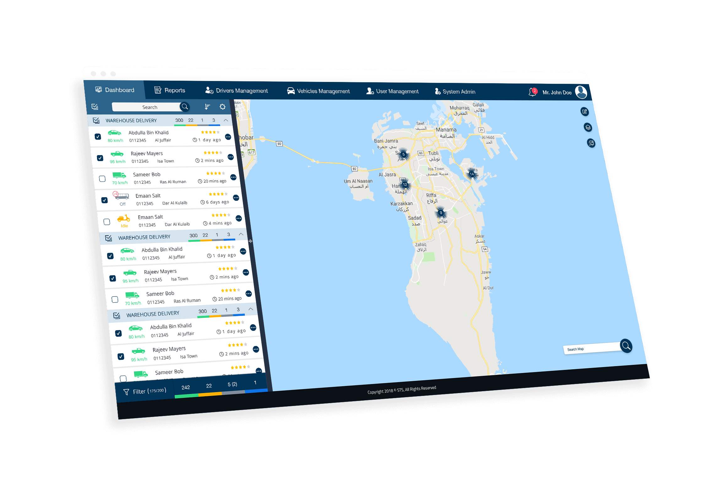
STS has intensive experience and knowledge in GIS and map data. The Bahrain map data used in all our products are produced in-house and updated regularly by STS map and GIS specialists in Bahrain. The quality of our map data (in terms of completeness and accuracy) supersedes any commercial map data available in the market. This is one of the reasons many customers prefer STS solutions over other competitors, especially for businesses that use vehicle tracking and vehicle dispatch systems. Moreover, STS can incorporate any customer-specific data into the Bahrain map data layers used by SmartTrack and SmartTrack Dispatch. The company has done this customized map integration for several customers in Bahrain successfully. STS also supplies GIS map data and services (for Bahrain) to customers who need such data services for their business activity. Examples of these customers are mobile operators that need Bahrain GIS map data for cell planning, and taxi companies that depend on vehicle dispatching systems.
The updated map data is used in all our products including SmartTrack vehicle tracking, vehicle dispatch, and Garmin-based in-car navigators.
The updated map data is used in all our products including SmartTrack vehicle tracking, vehicle dispatch, and Garmin-based in-car navigators.
GIS Solutions for Bahrain
STS relies on several sources for updating its core Bahrain road map data, including the following sources
. High resolution satellite imagery from Google.
. Field surveying using GPS.
. Official sources of road traffic data in Bahrain.
. Feedback received from customers.
. High resolution satellite imagery from Google.
. Field surveying using GPS.
. Official sources of road traffic data in Bahrain.
. Feedback received from customers.